 Sunset over the neighborhood a few weeks ago, on the way home from work. Awesome.
So, please excuse the radio silence lately. Work's been busy, and it's been dark out, so not much riding to be had, but that's my own fault. I can't complain too much about work, as overtime helps pay for the two-wheeled addictions.
AAAaaanyway.
So Exegete and the Su pup and I wandered down to Tombstone this past weekend, to spend Thanksgiving with his folks. This time, we brought Exe's bike, Crash, with intentions to use it to tire Su out, if needed. Of course, I couldn't resist going for a ride with it in Tombstone.
I had a destination in mind, Cochise Stronghold in the Dragoon Mountains, about 15 miles northeast of town. When I had some time Saturday, I bagged a couple cookies, filled up a water bottle, kidnapped Crash and set out.
I didn't go too much farther. I had been fighting a stiff headwind for over 10 miles, on a bike that wasn't set up for me, and I felt like I was dragging a boat anchor uphill. I made it probably a half mile from the pass, but I couldn't convince myself to keep on when I knew that it was all downhill with the wind at my back to get home.


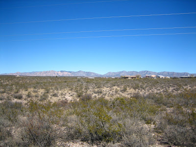
 Nice little clearing over there...
The 30 mile an hour blast back down Middlemarch road was worth all the fight uphill in the wind. Having a two-wheel drift around a banked downhill turn on slick street tires on gravel was an adrenaline rush. Having Crash airborne over cattle guards was fun. And the big old goofy grin on my face was... well... a big old goofy grin. Fun!
I have to say, it's such a change riding in Southern Arizona, if just for the smell. Riding down a dirt road through fields of sage, the air smelled really clean and sweet, a big change from the sometimes sharp smell of the pines I'm used to. It was really nice.
I would have loved to make it to the stronghold, or turn down towards Gleeson, a ghost town, but oh well. Next time, I'll just have to bring one of my own bikes.
So now I'm home, and there is riding to be done in the near future. I have lights to charge, tires to air up, and places to ride to, along with a pup to wear out.
But, we did get a nice welcome home from our travels:
Mileage: 0


